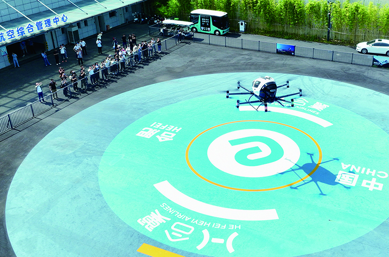
 China to Achieve 90% Mobile Network Coverage for Low-Altitude Flight Routes by 2027
(Yicai) Feb. 11 -- The ground mobile communications network coverage for low-altitude public air routes in China will be no less than 90 percent by next year, forming several low-altitude economy application scenarios in urban governance, logistics and transportation, culture and tourism, and other areas, according to new guidelines.
The low-altitude infrastructure construction guidelines, jointly released by the Ministry of Industry and Information Technology and four other government agencies yesterday, require the continuous improvement of information and communication technology foundation, industrial supply capabilities, network supporting capability, and security guarantee capabilities, providing a solid foundation for the healthy and orderly development of the low-altitude economy.
Low-altitude infrastructure includes communication, navigation, and surveillance facilities such as radar and automatic dependent surveillance-broadcast that are widely used in the civil aviation system, as well as next-generation information and communications facilities, including the fifth-generation network technology, 5G-Advanced, and satellite internet. Low-altitude flights are those flying below 300 meters.
After building the world's most advanced and largest information and communications network, relevant Chinese companies have been actively exploring low-altitude communications and perception based on 5G and 5G-A tech to create standard application scenarios, including low-altitude logistics distribution, water area inspection, and law enforcement and security, said an official from the MII's information and communications development department.
The guidelines also required that the multi-source fusion perception scheme should be further improved, the low-altitude navigation service level should be continuously enhanced, and no fewer than 10 information infrastructure product standards should be developed by 2027.
The multi-source fusion perception scheme refers to integrating perception and positioning data obtained from base stations, radars, electro-optical systems, radio detection, and the Beidou satellite navigation system through artificial intelligence algorithms to achieve high-precision, all-weather, and multi-dimensional detection, identification, and trajectory tracking of low-altitude aircraft, building an "three-dimensional protection network" for low-altitude flight safety.
The guidelines will likely accelerate the growth of the low-altitude economy supply chain upstream and downstream and form a complete industrial ecosystem covering core components, network facilities, equipment manufacturing, system integration, and operation services, Zhu Keli, director of the Greater Bay Area Low-Altitude Economy Research Institute, said to Yicai. It also marks a new stage in China's low-altitude economy, transitioning from application scenario pilots to infrastructure standardization, Zhu pointed out.
The most prominent highlight in the guidelines is that it adheres to the construction philosophy of intensive reuse and multi-party collaboration, fully relying on the existing information and communications facilities to promote the upgrading of low-altitude infrastructure, expected to avoid repetitive investment and redundant construction, Zhu noted.
"The guidelines takes infrastructure construction as a driving force to promote the coordinated efforts and cluster development of the upstream and downstream of the supply chain, achieve a balance between hardware and software development, the synchronization of construction and operation, and the coordination of technology and standards, building a better and more competitive industrial support system for the high-quality development of the low-altitude economy," Zhu stressed.
Editors: Tang Shihua, Martin Kadiev