![[In Photos] China’s Hubei Province Is Battered by Second-Highest Rainfall Since 1961](https://img.yicaiglobal.com/src/image/2020/07/6331485761306624.jpg) [In Photos] China’s Hubei Province Is Battered by Second-Highest Rainfall Since 1961
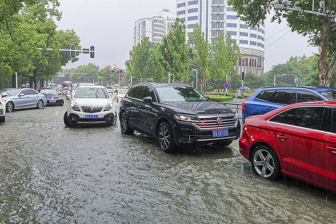
[In Photos] China’s Hubei Province Is Battered by Second-Highest Rainfall Since 1961(Yicai Global) Xinhua, Yicai Global -- China’s Hubei province, especially areas in the middle reaches of the Yangtze River, has been reeling from mountain water torrents, landslides and debris flows due to days of sustained heavy rains.
Some 5.345 million people have been affected so far, while the downpours have led to CNY5.3 billion (USD757.9 million) in direct economic losses, the central province’s flood control and drought relief headquarters said today.
Hubei has had six bouts of torrential rains since June 8. The cumulative average rainfall per unit area was 363.9 millimeters from June 8 to July 4, 45 percent more than the average 250 mm, the second highest since 1961. The rainfall has exceeded record levels in some areas.
The overall water level of the Yangtze River’s Hubei section has risen due to the heavy rains. The water level at the Hankou station was 26 meters at 8 a.m. on July 2, 2.56 meters higher than the same period of previous years’ average.
The rainy season is likely to continue until the middle of July, according to weather forecasts.
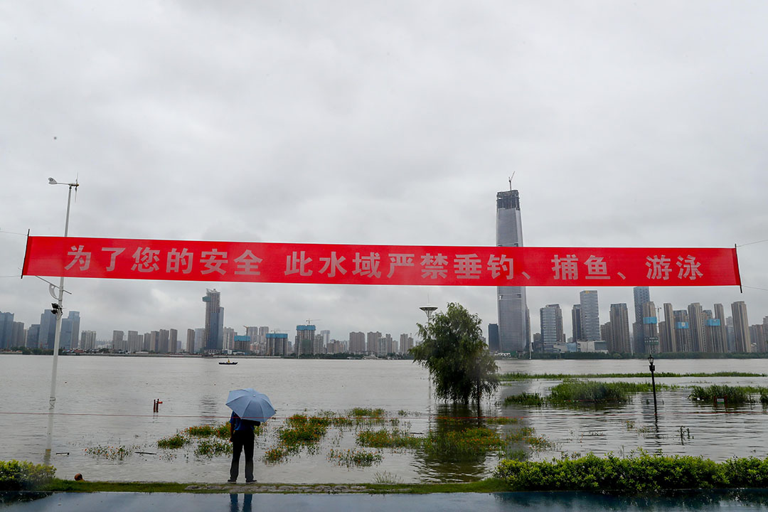
A red isolation rope is pulled up yesterday on the waterside steps along the Hankou River in Wuhan, capital of Hubei province.
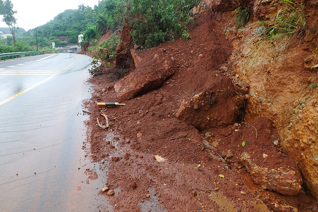
Heavy rain caused a landslide on a rural road today.
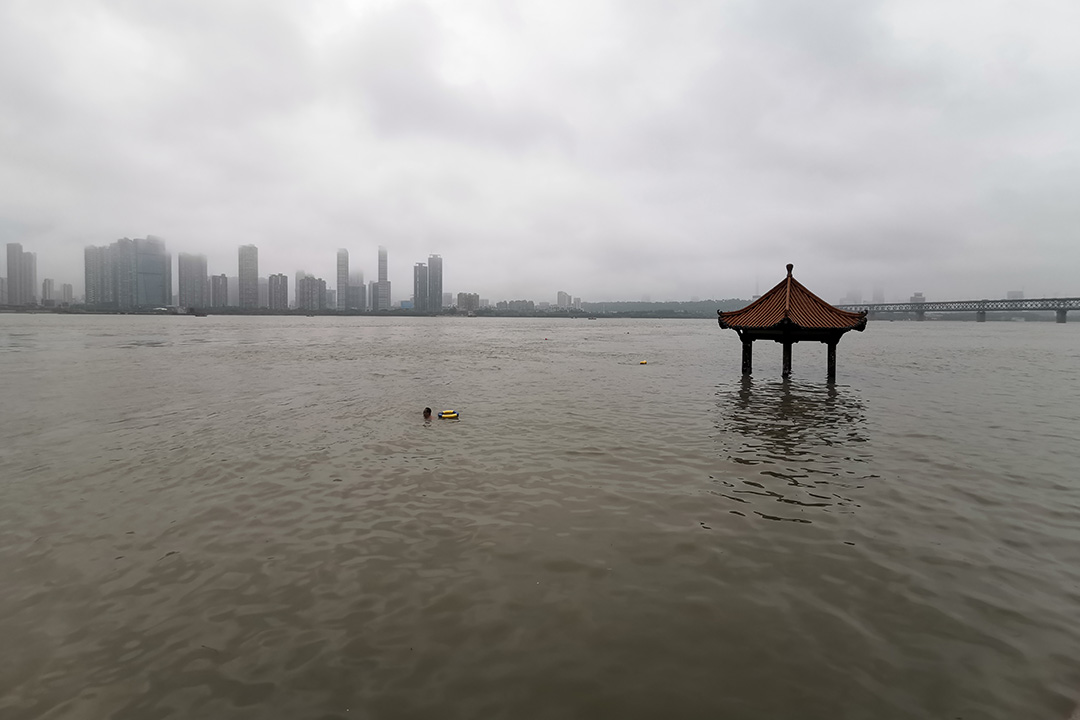
The Yangtze River flooded half of the riverside pavilions on July 4.
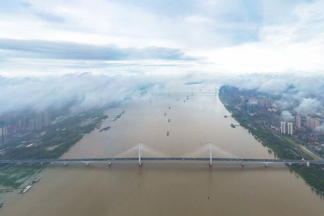
Water levels in the Wuhan sections of the Yangtze River and Han River continued to rise yesterday due to torrential rains in the Yangtze’s upper reaches and incoming water from the middle and upper reaches of the Han.
Heavy rain caused waterlogging at the entrance of Zhongnan Hospital of Wuhan University today.